Adventure 2004 - Southwestern Colorado
A Group Daily Log
Day 1: Saturday July 31, 2004
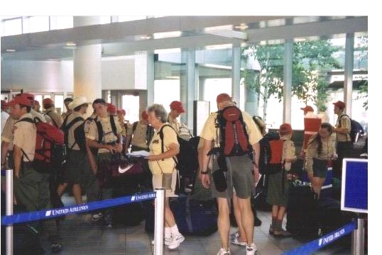
The Troop Gathered at our point of departure, Manchester
Airport in Manchester, NH for an early morning flight. We traveled safely to Denver via Chicago arriving at Denver
International Airport early in the afternoon. Thanks, in no small part, to our
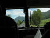
aircrew (see picture below). We then boarded a motor coach for the trip to
Navajo State Park in Arboles, Colorado. A stop was made in the Pueblo area for
last minute supplies and for a box lunch dinner. We arrived at Navajo State park
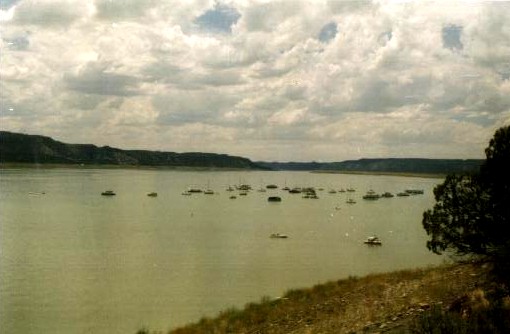
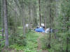
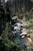
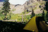
late in the evening, set up our tents and hit the sack. Our tent sites overlooking Navaho Lake were perfect. The campground
catered to RV’s but we had an isolated section which suited us just fine.
Showers, laundry and a general store were nearby for amenities. The town
of Durango was about a 45 minute drive away.
|
|

|
|
Departure From Manchester Airport
|
|

|
|
Our Aircrew
|
|

|
|
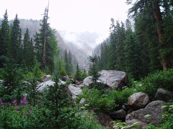
Navajo Lake
|
|
|
|
Tentsite At Navajo Lake
|
|
|
Day 2: Sunday, August 1,
Start: Vallecito Creek Trail Head
(529)
Elevation at Start: 7500 feet
Distance traveled: 5.5 miles
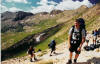
We spent the morning reorganizing our
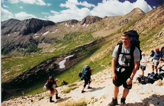
backpacks and had an early lunch before departing the campground. We
arrived at the trailhead in the early afternoon. The weather was sunny,
dry and in the seventies. The hike started at the Vallecito Campground
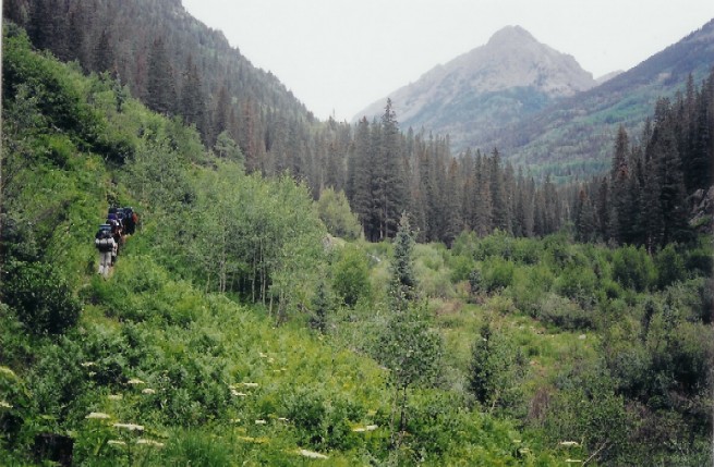
amid a ponderosa pine forest. The trail started easy before climbing a
ridge. The trail followed the creek with several ups and downs with some
open slope views of Vallecito Creek. We made camp near Second Creek after
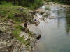
about 5-6 miles of steady hiking. A couple of us broke out the fishing
gear and proceed to catch trout with spinners. After dinner we reviewed
the trail maps for the next day.
|
|
|
|
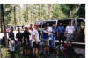
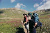
A Group Drop Off
|
|

|
|
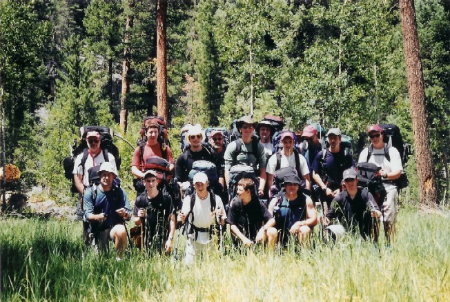
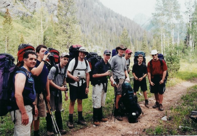
A Group Picture
|
|
|
|
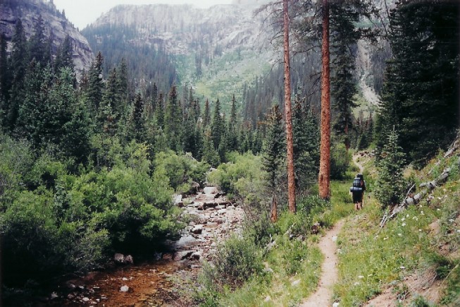
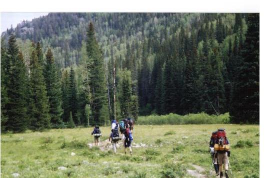
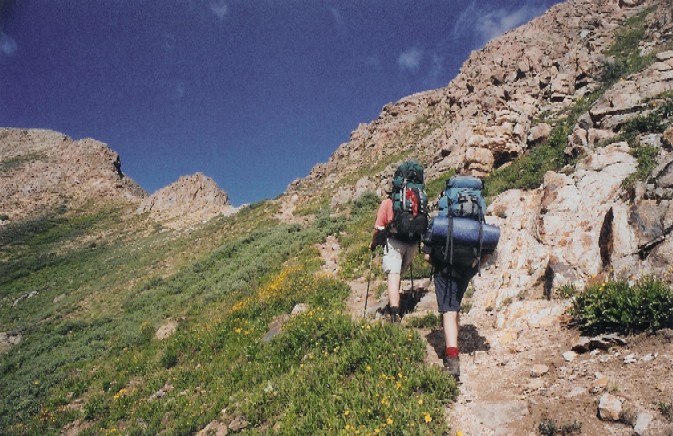
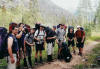
Along The Trail
|
|

|
|
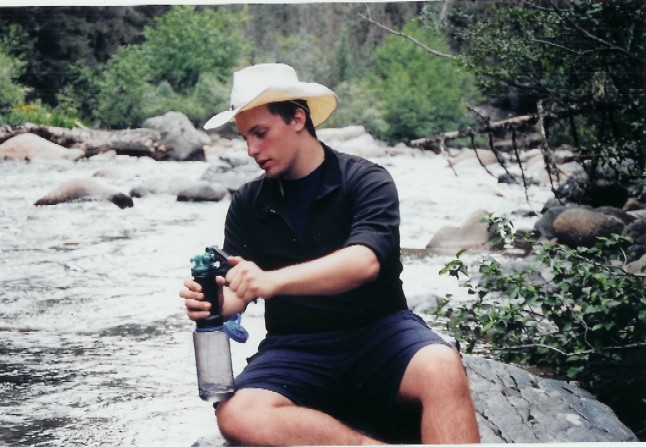
Tony Filling His Water Barrel
|
|
|
|
|
|
Waiting For The Group To Catch Up
|
|
|
|
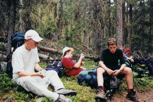
Water Break
|
|
|
|
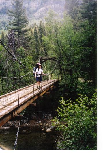
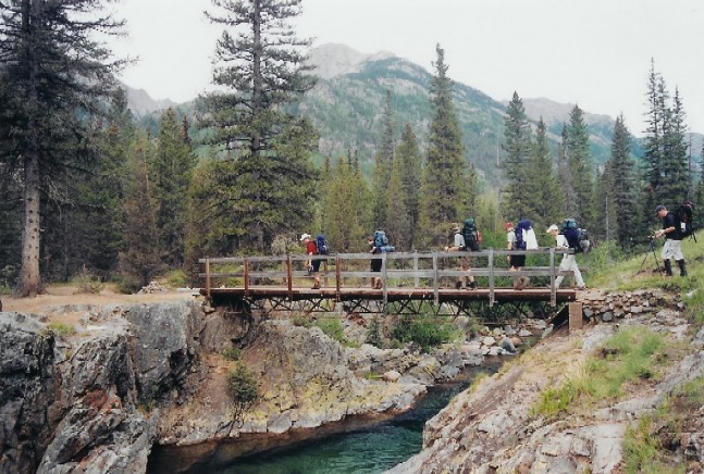
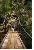
Kyle On The Bridge
|
|

|
|
Mike On The Bridge
|
|
|
Day 3: Monday August 2, 2004
Primitive Campsite near Second Creek to
primitive campsite along Johnson Creek Trail
Elevation at Start: 9,000 feet
Distance Traveled: 7.5 miles
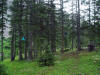
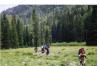
Our second day on the trail was a moderate
day for us with plenty of time for sightseeing. We hiked through a lot of
meadows and aspen groves with some small stream crossings. Eventually we
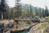
crossed a bridge over Vallecito Creek and continued along the Johnson Creek
Trail. The weather started to cool down and we had a light drizzle with
temperatures in the fifties. We made camp near the Vallecito Basin
Area.
|
|
|
|
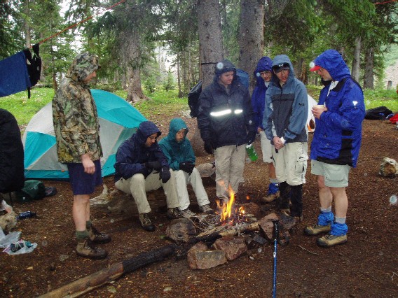
Bear Bags
|
|
|
|
Be Prepared
|
|
|
|
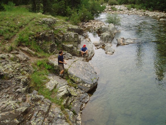
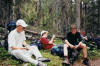
Fishing
|
|
|
|
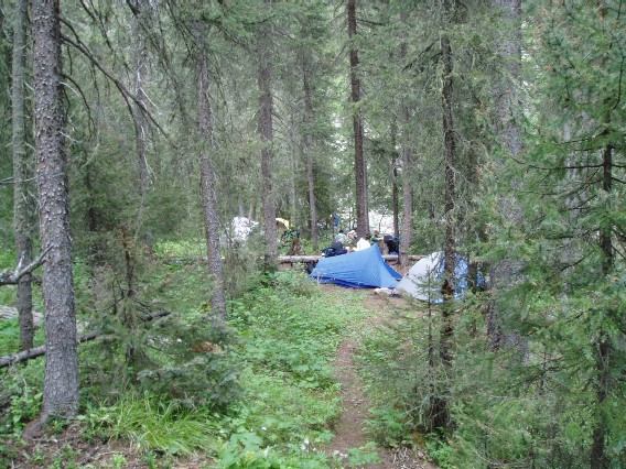
Tentsite
|
|

|
|
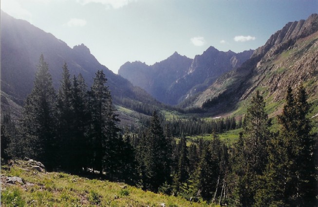
Alongside Johnson Creek
|
|
|
|
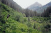
Vallecito Creek
|
|
|
|
Vallecito Creek Bridge
|
|
|
Day 4: Tuesday August 3, 2004
Johnson Creek Trail over Columbine Pass
(13,000 feet) and into Chicago Basin
Elevation at Start: 10,500
Distance Traveled: 7.5 miles
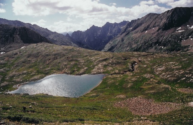
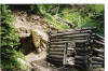
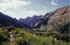
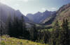
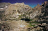
The skies cleared today and we were off on a
challenging uphill grind to Columbine Pass. We were treated to outstanding
vistas along the way to Columbine Lake. The wildflowers were in abundant
supply and in a blaze of colors. While resting at the lake, scouts
detected a strange odor and found the carcass of a horse that probably had
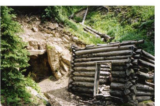
fallen off the ridge above the lake. We also explored an abandoned mine near the
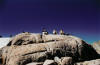
lake. Once we reached the pass, we stayed for about an hour and a
half. The view and weather could not have been better! We were
entertained by a pica and incredible views all around us. We descended
from Columbine Pass and made our way toward our campsite near Chicago
Basin. Along the way, we stopped for our traditional summer snowball fight
in a snowfield. We found an excellent campsite above the Chicago Basin
Area. We did attempt to hike lower into the basin but opted to stay put
after talking to two hikers that we were better off at our campsite. Our
campsite was about a mile and 700 feet further than where we wanted to be to
start our day hike up Windom Peak, but given the outstanding location, water
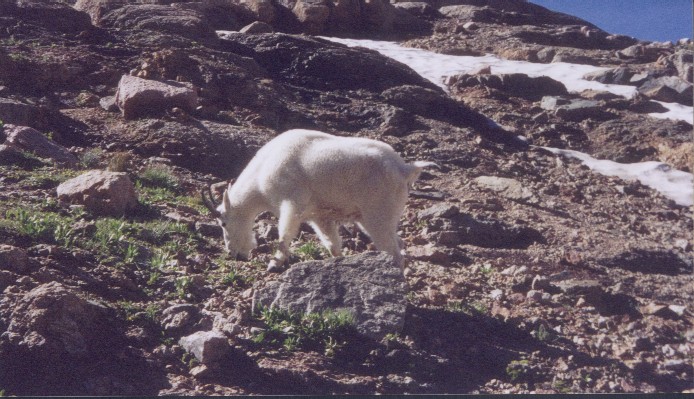
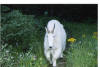
supply and views we were content. We did make friends with the mountain
goats, one in particular we named Sherman. He seemed to follow you like a
puppy and was always nearby—especially when you had to go to the bathroom.
They goats are attracted to the salt in hiker’s urine and would follow us for
that reason. Nate found this out while relieving himself in the middle of
the night, when Sherman brushed up beside him!
|
|
|
|
Along The Trail
|
|
|
|
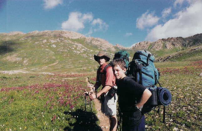
Alex And Rob
|
|
|
|
Campsite Above Chicago Basin
|
|
|
|
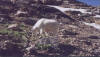
Sherman
|
|
|
|
Sherman The Goat
|
|
|
|
Nate At Columbine Pass
|
|

|
|
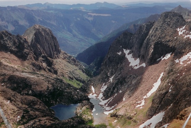
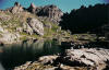
Columbine Lake
|
|
|
|
|
|
Old Mine
|
|

|
|
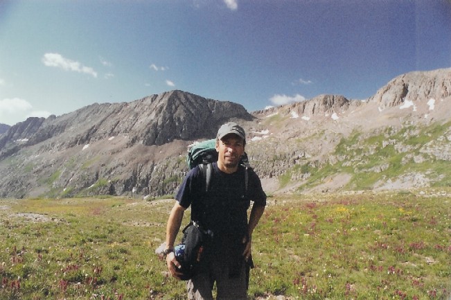
Our Scoutmaster Greg
|
|
|
|
Switchback To Columbine Pass
|
|
|
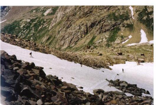
|
Snow Field
|
|
|
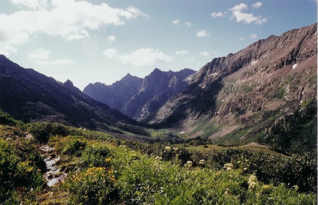
|
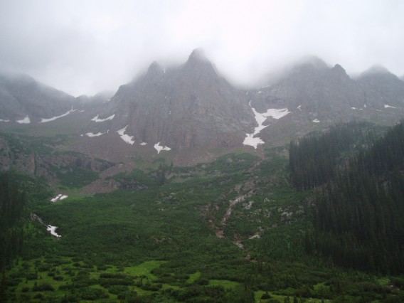
Vallecito Basin Area
|
|
|
|
Vallecito Basin
|
|
|
Day 5: Wednesday August 4,
2004
Elevation at Start: 11,000
feet
Day Hike at Windom Peak, Elevation:
14,082
Distance
Traveled: 10 miles
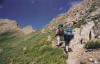
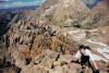
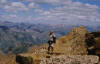
We descended seven hundred feet to the
trailhead for Windom Peak. We encountered a lot of hikers and noticed a
lot of campsites in the Needles Creek Area. We complimented ourselves on
how nice and remote our campsite is from the congestion down below—and how the
hike backup to the campsite would be tiring after a 14000 footer but well worth
it. At the trail head for Windom Peak we started the ascent to Twin
Lakes. This was a robust climb in itself and prepared us mentally for the
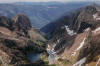
remainder of the climb. From the lakes, the trail ascended to a plateau
and then began the grueling assault to the summit. It was a picture
perfect day. It was a non-technical climb yet there was plenty of loose
scree and rocks to scramble over. The majority of our scouts and leaders
made it to the top.
|
|
|
|
Alex Nearing The Top
|
|
|
|
Ascent of Windom Peak
|
|
|
|
Break At Twin Lakes
|
|
|
|
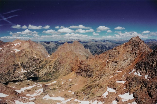
View from Twin Lakes
|
|
|
|
Gordy Near The Top
|
|

|
|
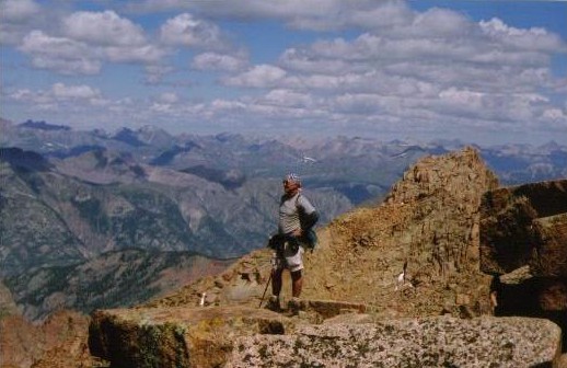
View From The Top
|
|
|
|
View From Windom Peak
|
|
|
Day 6: Thursday August 5, 2004
Needleton Creek Area of Chicago Basin to
primitive campsite along the Animas River.
Elevation at Start: 11,000
feet
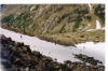
We hiked through the Chicago Basin and then
followed the Animas River. Hiking along the Animas River we spotted the Durango
– Silverton Train a few times. We found a secluded campsite away from one
of the train junctions. A lot of day trippers would get off the train here
and meander around. It was a bit melancholy to realize we were getting
back to civilization. We caught some downpours at our campsite. We
did manage to use a pavilion about a ½ mile from the campsite to chill out
at. Some of us used the pavilion to cook dinner. There was a local
scout troop there that set up their tents underneath the pavilion to keep dry
for the night! We were fine in the outdoor elements without any whining or
hardship complaints on account of the weather.
Day 7: Friday August 6, 2004
Purgatory Trail Head
Distance Traveled:
The last day on the trail included a good
uphill start in the morning before leveling out. Our final mile was an
uphill hike with a 700 foot elevation gain to the Purgatory Trail
Head. We arrived at the trail head ahead of our scheduled pick-up
time and did the tourist deal by visiting the shops at the base of the Purgatory
Ski Area.
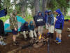
Day 8: Saturday August 7, 2004
Saturday morning came awfully early
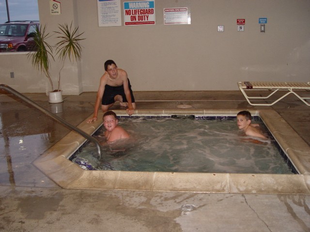
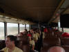
and the vans had to be returned and the bus came. We were headed home. A nice
hotel room in Denver and a swim and back home we went.
Where did the week go? We had a lot
of laughs and a lot of memories. Saw a lot of incredibly beautiful scenery and
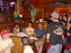
some pretty bad storms. Ate a buffalo burger in Silverton which was not like any
beef I have ever had. Do it again??? In a heartbeat! Bring on the next
High Adventure!
|
|
|
|
Bus Ride To Denver
|
|
|
|
The Long Ride
|
|

|
|
Dinner Break
|
|
|
|
Happy Birthday Jim
|
|

|
|
Fun In The Pool
|
|
|
Day 9: Sunday August 8, 2004
Our last day was a travel day. A late morning flight from
Denver to Chicago, finally arriving back at Manchester in the
evening.